
Ever wanted to travel back in time and see how your new house looked like, say, five years ago? Or want a picture tour of your new office building from its days of construction?
The upgraded Street View imagery feature in Google Maps makes it happen.
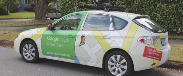
The new feature, currently restricted to desktops, allows users to see the latest image of a particular place while giving them an option to click on an older image of the same place.
Google is utilising its image bank collected over the past seven years from 2007, to offer the latest feature to users.
Google Street View product manager Vinay Shet said in the company’s official blog: "Now with Street View, you can see a landmark’s growth from the ground up, like the Freedom Tower in New York City or the 2014 World Cup Stadium in Fortaleza, Brazil.
"This new feature can also serve as a digital timeline of recent history, like the reconstruction after the devastating 2011 earthquake and tsunami in Onagawa, Japan. You can even experience different seasons and see what it would be like to cruise Italian roadways in both summer and winter."
The Wall Street Journal quoted Google Maps Street View director of engineering Luc Vincent as saying: "What we’ve done before now was give users the freshest imagery, because that’s typically what’s most useful to them. And from now on, every time we add imagery, it will be with a time machine layer — it will be enabling this going-back-in-time feature."
Vincent added: "We like to think we were building a 3D image of the world, and now the mirror is actually 4D. You can go back in time (aka, the fourth dimension), look at things the way they were, and sort of get lost in exploration."
The new feature adds six million miles worth of Street View imagery stock to about 12 million miles worldwide.
Image: The past and the current images of Freedom Tower in New York. Photo courtesy of Google Inc.


