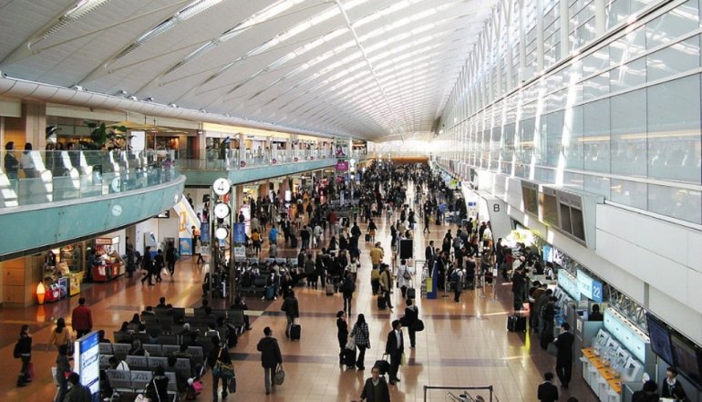
Japan’s NTT DATA has launched a unique indoor navigation app dubbed NariNAVI that uses anomalies in the earth’s natural magnetic field to provide high-precision indoor location analysis, with the app initially unique to Narita International Airport.
Using technology developed by Italian startup GiPStech – a spin-off from the University of Calabria – and jointly deployed with NTT DATA’s R&D team, the app uses custom sensor fusion algorithms to locate users within a 2.5D map of the airport, which serves as a gateway to the greater Tokyo area.
 GiPStech: How NTT Data App Works
 GiPStech: How NTT Data App Works
GiPStech uses two core technologies: firstly, a “device orientation-free inertial engine” that uses sensor fusion of nine axes commonly present in smartphones to detect a users’ steps and determine their orientation, independently of device orientation.
Secondly, it uses geomagnetic fingerprinting to locate a user in any environment without infrastructure installation.
The patented technology has an average precision of one meter, providing – it claims – an experience far more precise than GPS, indoors, and without the need of expensive infrastructure installation.
(Geomagnetism refers to the earth’s natural magnetic field, and this technology leverages anomalies to the magnetic field caused by building structures.)
NTT DATA App: We’re On to Something Here…
NTT DATA said in a release late last week that it “aims to expand its business by developing location information services for companies with indoor facilities.”
The company’s own 2.5D map platform technology, developed by its NTT Service Evolution Laboratories, allows hierarchical outdoor and indoor maps (planar maps containing information on floors and heights) to be transmitted to a smartphone.
The AWS-hosted technology can generate simple three-dimensional maps by combining planar map data with height information. The app was made public on September 18 this year. An earlier Japanese language press release from NTT says the app will link with “high precision digital indoor signage” and support the growing number of foreign nationals using the airport, which has daily throughput of some 116,510 passengers.