The UK Space Agency is making free satellite images available to the public sector in a unique new trial.
The agency’s Space for Smarter Government Programme (SSGP) is providing the commercial archives of images and radar data from a satellite data storage system run out of the Satellite Applications Catapult in Oxfordshire.
The data set will be available for free for three years. The Agency said it hopes to “stimulate the next wave of satellite enabled application development”,
Read this: UK Space Industry in Ambitious Push for £250 Billion Growth
UK Space Agency is also hoping popular adoption will help spur further interest and growth in the UK’s space industry, which employs over 40,000.
Detailed images of UK transport infrastructure, park areas, energy infrastructure and British cities are all available, with SSGP hoping they will break down barriers for start-ups looking to bring new offerings to market based on geospatial data.
The launch comes amid a surge of interest in the applications that can be made available through both geospatial data and its analysis using AI.
(Public sector bodies looking to play with the data may want to consider Uber’s open source – freely available – geospatial analysis application, kepler.gl)
Read this: Uber Releases Free Geospatial Analysis Application
 Sara Huntingdon, the UK Space Agency’s SSGP Manager, commented in a release: The demand for this data is huge and we have already had more than 40 organisations pre-registering an interest.”
“We are doing something new, which tries to break down barriers to innovation, and I can’t wait to see what ideas and projects arise. This data could open new doors for SMEs, enable rapid prototyping within government and stimulate the next wave of satellite enabled application development.”
Smarter Government Programme
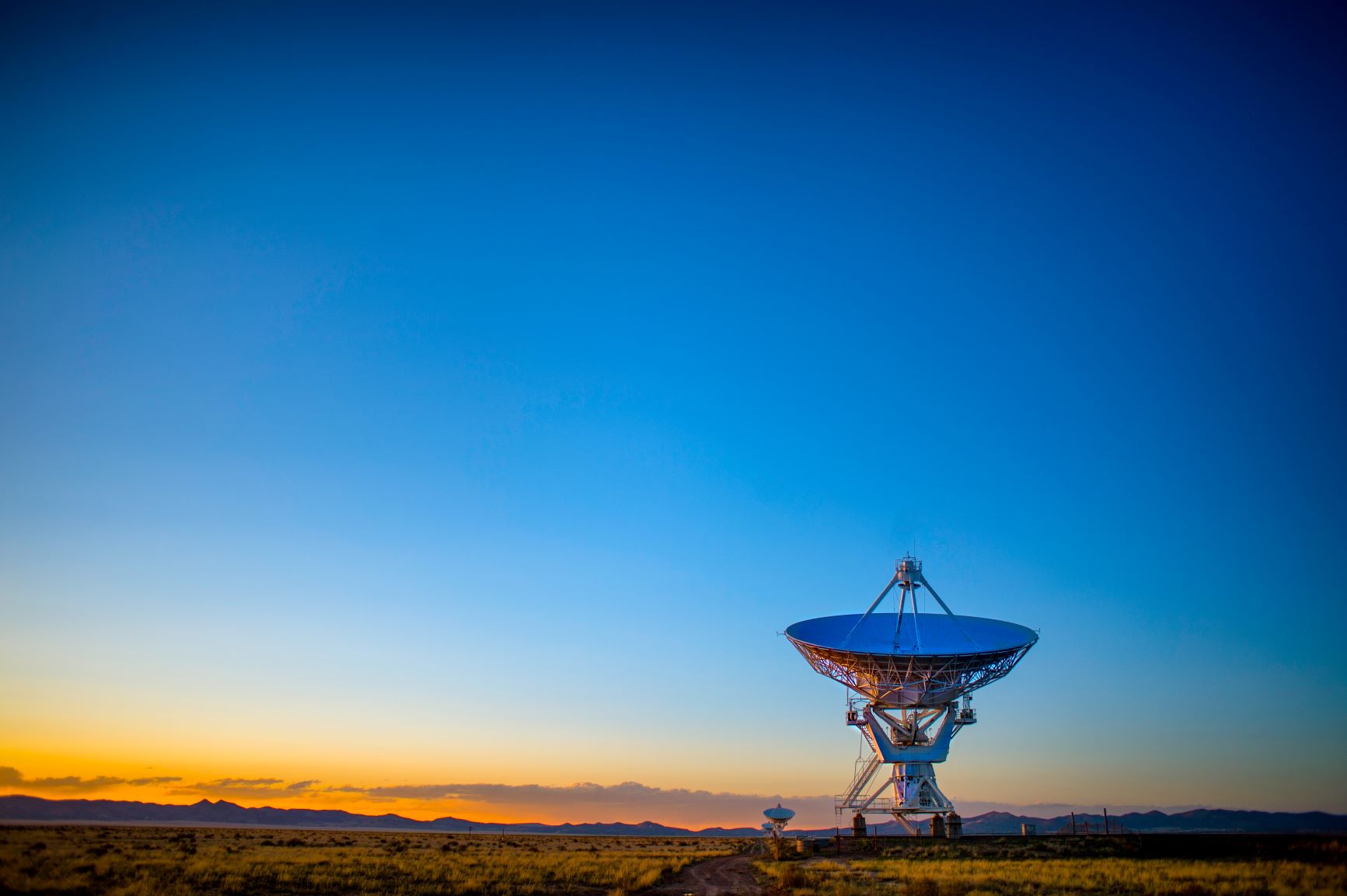
The imagery and data has been captured by a number of satellite projects operating between the UK Space agency and the European Space Agency such as the Copernicus and Sentinel missions.
See Also: This Robotic System has No Centralised Control and No Single Point of Failure