Brexit or no, direct payments to farmers like those made under the Common Agricultural Policy look set to continue for some years after the UK leaves the EU – and a new £2 million contract put out to tender by the Department for Environment Food & Rural Affairs (Defra) today shows it plans to use satellite imagery to administer it.
The much-maligned CAP provides direct subsidies that make up to 80 percent of a UK farmer’s income. Irrespective of Brexit outcomes, Westminster has pledged to preserve payments at CAP levels until 2022 (phasing direct payments based on land ownership out by 2027, to replace them with funding for positive environmental impact.)
The European Commission in May last year adopted rules that, for the first time, expressly allow a range of modern technologies to be used when carrying out checks for area-based CAP payments – including the option of completely replacing physical checks on farms with automated analysis of Earth observation data .
And Defra appears keen to exploit the potential.

Read this: PwC Hails “Groundbreaking Potential” of Drone Audit
The three year contract will begin on April 1, 2019. Defra said in a European tender that it sees “provision of acquiring Very High Resolution (VHR) Satellite Imagery”.
This will be made available to the Rural Payments Agency (RPA) in England, Department of Agriculture, Environment and Rural Affairs (DAERA) in Northern Ireland, Rural Payments and Services in Scotland and Rural Payments Wales.
Farm Checks: Being Transformed by Technology
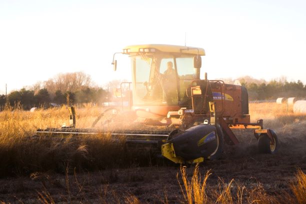
Under current CAP rules, EU member states are required to carry out a number of checks on farms as part of the Integrated Administration and Control System, which ensures that any payments made to farmers from the CAP budget are made correctly.
The new rules will allow those member states that wish to do so to eventually replace or complement on-site checks with automated and less burdensome controls.
The approach proposed by the EC uses earth observation data from the Copernicus Sentinel satellites and combines it with other satellite or Earth observation technologies or complements it with geo-tagged photos.
This is then processed automatically using computer algorithms that can determine the land use or land cover of the agricultural areas observed. This information is then compared and combined with existing information in the Land Parcel Identification System, a system for the identification of all agricultural parcels in EU member states that is part of the existing IACS, and cross-referenced with each individual application for aid to assess whether the payment can be made.
In cases where this automated system cannot determine whether claims are accurate, additional evidence (including geo-tagged photos or other relevant documentation submitted by the farmer or data from drones, for example) may be used to support the claim.
Read this: Europe’s “SpaceDataHighway” is Coming to Japan