A three month test by Google partner Planet, which operates remote sensing satellites typically used for business intelligence purposes, reveals that they could also potentially be used to track hazardous near-Earth objects including asteroids.
The January-April 2017 project by satellite SkySat-3 took place while the spacecraft was in Earth’s shadow, a recently published academic paper shows.
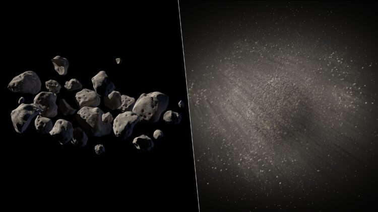
The report comes as NASA’s Asteroid Watch revealed that an asteroid impacted over Southern Africa Saturday night, hours after being spotted by the NASA-funded Catalina Sky Survey. “Its course was plotted, but at just ~2 meters in size it did not pose a risk and later disintegrated in a bright fireball.”
What is SkySat 3?
SkySat 3 is one of Planet’s satellites. These typically provide high resolution commercial planetary monitoring applications for industries such as agriculture, defense and intelligence and maritime businesses.
The satellites provide 300 square kilometres of imagery daily, including sub-1 metre pixel resolution. Planet also offers a platform and API for computer vision-based analytics. The technology conglomerate claims: “With 175+ satellites in orbit, Planet is able image anywhere on Earth daily at 3 meter and 72 centimeter resolution.” It can also record video from its satellites.
Space Data APIs
Google has created several API’s to help developers to integrate space imaging data into their applications, with searching and filtering of image data alongside contextualising maps via its Basemap API. This allows businesses to factor in satellite data into areas such as logistics, geolocation services and cartography software.
Again, this opens up a whole new world of data for companies to utilise and will hopefully create real business value for firms looking to gain a competitive edge.
But… Why Not Point Them At Space, Too?
The authors of the publication (outlining the asteroid demonstration activity) noted that optimised hardware and camera settings would allow better detection of larger asteroids.
They wrote: “Considerable amount of post-processing was applied to isolate images of the asteroids. Background and incidental signals from cosmic rays were removed, individual observation frames were registered to offset jitter from the spacecraft’s attitude determination and control systems, and then the resulting frames were “stacked” to create a single synthetic image.”
The authors added that if the SkySat-3 hardware and camera settings were optimized for asteroid detection (rather than Earth imaging), objects with an apparent magnitude of 21.7 would potentially be detectable. Large, small satellite constellations could therefore be used to better characterize the risks posed by near-Earth objects.“
Coral Reefs too, Though…
For those more concerned about planetary degradation from within than without, the Planet team this week also announced that they were teaming up with Carnegie scientist Greg Asner and his Reefscape Project to map the world’s coral reefs.
Asner and his team will use AI combined with field-data to guide calibrations of Planet’s 3.7-meter resolution satellite data so that they account for atmospheric effects, glare, reflectivity, and other aspects that make it difficult for mapping tools to penetrate the ocean’s surface. The Carnegie team will also build a coral reef-monitoring system that ingests Planet satellite data on a daily basis to detect changes in coral reefs such as hot-water bleaching events or destruction from coastal development.
“The Carnegie change detection and alert system will be the first of its kind, and will propel a global effort to slow and reverse coral reef losses.”