Researchers at Massachusetts Institute of Technology have proposed an autonomous system of drones which can be used in search and rescue situations.
The system would be used in forested areas which are cumbersome for human teams to traverse. Searching a large forest for one lost hiker can be a slow ordeal and potentially dangerous for first responders.
“Essentially, we’re replacing humans with a fleet of drones to make the search part of the search-and-rescue process more efficient,” commented first author Yulun Tian, a graduate student in the Department of Aeronautics and Astronautics in an MIT blog on the research.
Each quadrotor drone would be equipped with a LIDAR laser system which allows it to orientate its way through the forest. Algorithms then help it to detect unexplored and previously searched areas, ensuring the drones cover and create a complete map.
The researchers tested two drones in a forested area near NASA’s Langley Research Centre. In that experiment each drone mapped a twenty square-meter area in under five minutes and created two maps in-real time of the searched location.
“The drones also performed well across several metrics, including overall speed and time to complete the mission, detection of forest features, and accurate merging of maps,” MIT commented.
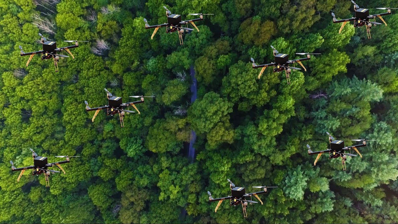
MIT Drones
An issue with using LIDAR technology in forested areas is that the system struggles to identify individual tress, as the reflected pulse returned can be similar for individual trees.
Instead the researchers programmed the drones to identify clusters of trees. An algorithm was designed that calculates the distance between trees and their angles, this then creates a cluster that can be used as a waypoint.
When two drones move near the same cluster of trees the individual maps are combined to create a stable and consistent search pattern for the drones.
“Calculating that relative transformation tells you how you should align the two maps so it corresponds to exactly how the forest looks,”
“In search and rescue missions, time is very important,” Tian stated.


