Bluesky is exploring ways in which supercomputers can be used in a range of environmental applications by comprising trillions of data points to process and deliver 3D maps.
The company said it is working with HPC Midlands and German Karlsruhe Institute of Technology (KIT).
Considering the effectiveness of solar panel installations, the firm has already delivered workflows to create region-wide maps of sun shadow.
Bluesky is looking at ways of creating and maintaining key datasets such as the National Tree Map, air pollution models and thermal heat loss surveys by using supercomputers to scale up existing workflows.
James Eddy, Technical Director of Bluesky said: "Having invested in the very latest survey equipment, we are now generating more detailed data covering larger areas than at any other time in the history of aerial surveying.
"Our nationwide annual program of data capture results in around hundreds of terabytes of raw data every year."
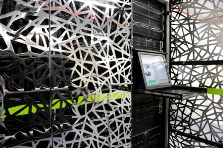
Simon Schuffert, Research Associate at KIT said: "Processing this amount of data on conventional computers is simply not time or cost effective.
"However, by partnering with HPC Midlands and Bluesky we have proven scalable workflows through a ‘divide and conquer’ approach made possible by parallel programming."
James Earl-Fraser, Business Development Associate at HPC Midlands said: "New sensors such as those employed by Bluesky and the analysis techniques devised by KIT are generating larger volumes of data than ever before.
"In order to derive value there is a growing requirement for automatic and efficient processing such as that offered by high performance computers."